If you have ever wondered why daily life in Santa Clarita can feel so different from one area to the next, the answer often starts with how the city was planned. Santa Clarita is not built as one uniform place. It is shaped by a collection of villages, districts, and master-planned areas that influence how you move, shop, spend time outdoors, and maintain your property. If you are trying to understand what living here may actually feel like, this breakdown will help you see the pattern more clearly. Let’s dive in.
Santa Clarita Is Built Around Villages
Santa Clarita incorporated in 1987 with Saugus, Newhall, Valencia, and Canyon Country, and its broader planning area also includes Stevenson Ranch, Castaic, Val Verde, Agua Dulce, and the future Newhall Ranch. The city is about 30 miles north of Downtown Los Angeles. That larger structure matters because Santa Clarita functions less like a single neighborhood and more like a network of distinct communities.
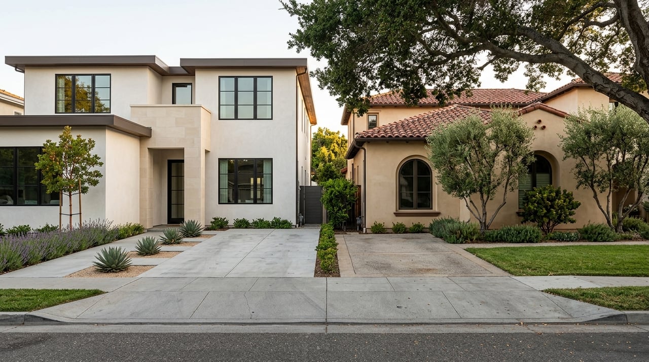
The city’s own design guidelines show that these places were not all planned the same way. Valencia, Saugus, and Newhall each have separate community character standards. In practical terms, that means the look, layout, pedestrian experience, and placement of amenities can vary depending on where you are.
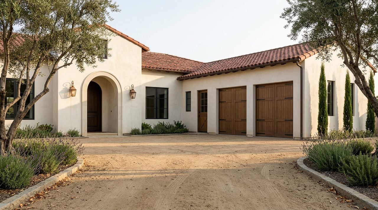
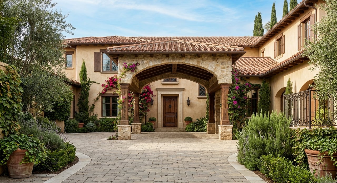
Valencia stands out as one of the clearest examples of a planned community model. The city describes it as a place where residential, commercial, and industrial areas are connected by paseos and supported by shopping centers, parks, schools, colleges, a hospital, golf courses, and offices. That type of design tends to shape everyday routines in a very direct way.
How Planning Affects Daily Routines
In a master-planned setting, your errands and activities are often built into the layout of the community. Instead of treating parks, retail, and recreation as separate destinations, these villages often cluster them together. That can make daily life feel more organized and more localized, depending on the tract.
Older south Valencia neighborhoods along Orchard Village Road, Wiley Canyon Road, and McBean Parkway were planned with medium-sized landscaped lots and streets designed for residential use. Newer Valencia neighborhoods north of Newhall Ranch Road added more paseos, parks, and shared amenities into that framework. So even within Valencia, the day-to-day experience can shift from one section to another.
The newer Valencia by FivePoint plan continues that village model. Its first village, Confluence, is part of a larger plan for homes, parks, trails, offices, restaurant and retail space, and public gathering places west of the 5 freeway and south of Highway 126. For buyers, that means the phrase “master planned” is not just marketing language. It often points to a very specific pattern of daily convenience and shared spaces.
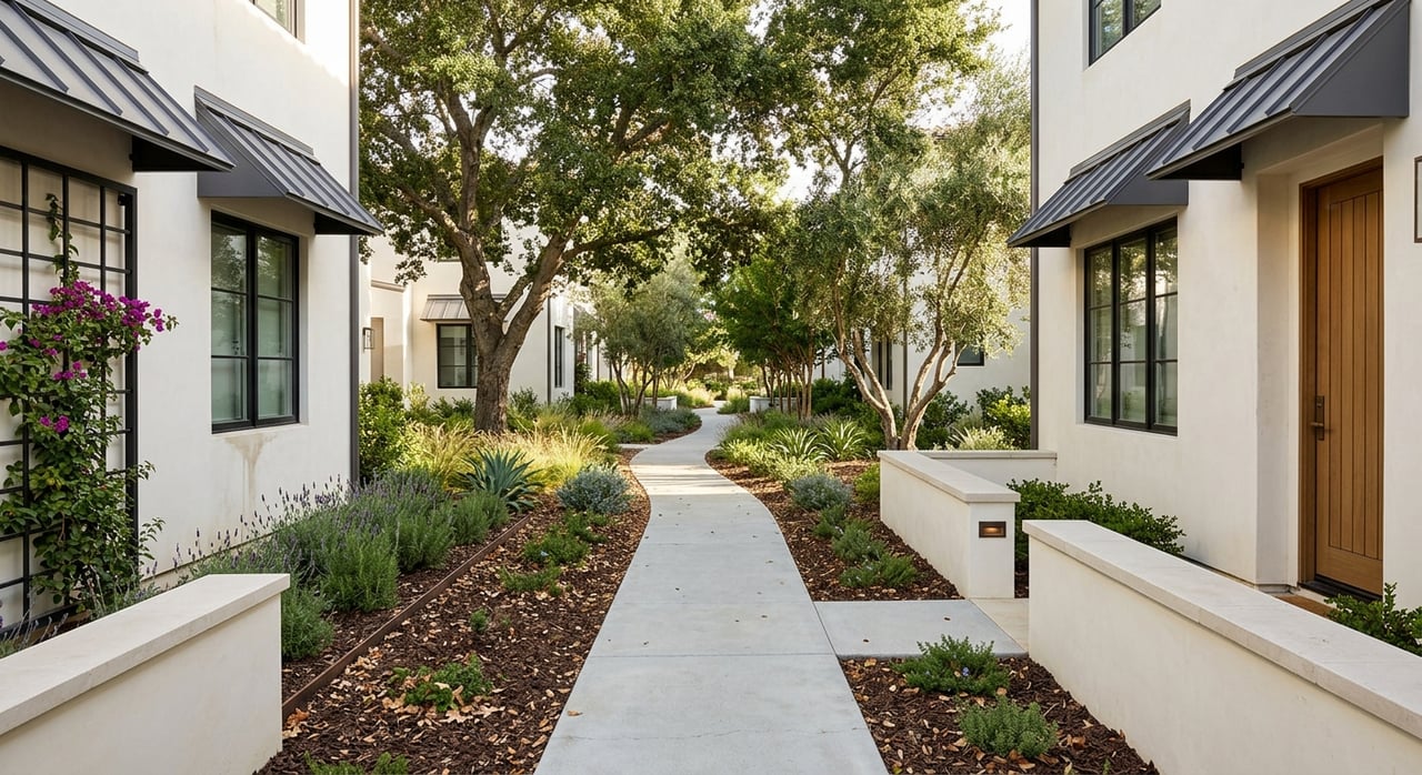
Parks And Trails Are Part Of The System
One of the biggest ways Santa Clarita’s villages shape daily life is through outdoor access. The city says it has more than 100 miles of off-street trails and paseos, including about 80 miles of trails and 20 miles of paseos. These routes are designed for both commuting and recreation, and they connect residents to parks, shopping, schools, employment centers, and entertainment areas.
That matters because a trail or paseo network can influence how often you walk, bike, or choose local routes over driving. In some areas, that connection is a real part of the neighborhood rhythm. In others, the pedestrian experience may be more limited or more dependent on specific corridors.
Old Orchard Park in Valencia is a useful example of how long this planning approach has been in place. The park was originally developed in 1968 as part of the Valencia master plan and sits among paseos and neighborhoods next to Old Orchard Elementary School. It reflects the idea that parks were designed into the village pattern from the beginning, not simply added later.
Recreation Is Woven Into Neighborhood Life
Santa Clarita’s community centers also show how planned amenities support daily routines. The Valencia Community Center includes an indoor pool, classrooms, a dance room, and a fitness room. The Newhall Community Center includes a basketball court, child play area, outdoor stage, dance room, and rental space.
These facilities help turn recreation into a nearby option rather than a special trip. Depending on where you live, that can make it easier to build regular habits around fitness, classes, events, and local programming. It also reinforces the village concept, where common activities are tied closely to the surrounding neighborhoods.
For many households, that convenience becomes part of what defines the area. You are not just choosing a home. You are choosing a pattern of access to shared spaces that may shape your week in small but important ways.
Shopping And Errands Follow Village Hubs
Master-planned communities often influence where you run errands and gather socially, and Santa Clarita follows that pattern. Old Town Newhall is described by the city as an eclectic shopping, dining, and entertainment destination. Valencia Town Center offers more than 100 shops, making it a major retail hub for the area.
The city also highlights local farmers markets in Old Town Newhall, Canyon Country, and at College of the Canyons, along with the Santa Clarita Swap Meet. These are not just weekend attractions. They are part of how many residents handle routine shopping, food stops, and casual outings.
When amenities cluster this way, your sense of “local” becomes tied to your village or nearby district. One part of Santa Clarita may center around paseos and planned retail nodes, while another may revolve around an older commercial corridor or a destination area like Old Town Newhall. That difference can shape how connected or convenient a location feels to you.
Maintenance Looks Different By Area
Another important piece of daily life is how the community is maintained. In Santa Clarita, that work is not handled by one single system. Instead, maintenance can be split between public districts, city departments, and private associations depending on the location.
Santa Clarita’s Landscape Maintenance District system manages 62 zones and more than 2,300 acres of landscaped areas. This includes medians, parkways, side-panels, parks, monument signs, more than 29 miles of paseos, about 65,000 trees, and 47 miles of landscaped medians. The city says the first LMD zones were created in the Old Orchard area of Valencia and still support landscaping in and around the Valencia Paseo System.
The city also explains that LMD funding supports common-area features such as stamped concrete medians, concrete paseos, rail fencing, lighting, pedestrian bridges and tunnels, and play equipment. In other words, some of the polished village appearance people associate with Santa Clarita is maintained through public special districts, not just private homeowner dues.
At the same time, some newer planned areas use private association structures for shared amenities. Valencia by FivePoint says its private parks, including Confluence, Verve, Eastlink, and the future Vantage Park, are owned and operated by the master community association and have resident-only access. The HOA also oversees parks, pools, year-round programming, and shared-space maintenance, and some homes also have sub-association fees.
Public And Private Systems Can Overlap
This public-private mix can affect both cost expectations and lifestyle expectations. In some neighborhoods, a large share of the visible upkeep may come from city-managed or district-managed infrastructure. In others, private associations may have a bigger role in maintaining parks, pools, and neighborhood spaces.
City public works still handles much of the everyday streetscape, including public streets, easements, and right-of-way areas. That work includes potholes, sidewalk repairs, striping, signage, and weed abatement. So when you compare one tract to another, it helps to understand which parts are public, which are privately maintained, and how that may affect the feel of the area.
This is especially relevant if you are comparing resale neighborhoods with newer master-planned communities. The appearance may seem similar at first glance, but the maintenance structure behind that appearance can be very different.
Walkability Is Not The Same Everywhere
One of the biggest misconceptions about Santa Clarita is that every village offers the same walkable experience. The research shows that is not the case. Walkability here is often corridor-specific and community-specific rather than uniform citywide.
The city’s community character guidelines describe Valencia as pedestrian-friendly and highlight its paseo system. By contrast, the Saugus section notes that some shopping areas lacked shade trees, landscaping, and pedestrian amenities. That does not make one area universally better than another, but it does mean your block-by-block experience may vary more than you expect.
Newer communities continue to put an emphasis on trail access and connected planning. Valencia by FivePoint describes a robust trail system for walking, jogging, and biking, with a long-term plan that blends homes, parks, trails, offices, restaurant and retail space, and gathering areas. However, it also notes that the planned Highway 126 connection is still years away, which is a reminder that infrastructure timing matters too.
Commute Options Depend On The Village
If your routine includes commuting, village design can influence that just as much as recreation does. Citywide, Santa Clarita Transit provides local trip options, and the city says Santa Clarita has three Metrolink stations. The trails system also includes bike lockers at the Via Princessa, Santa Clarita, and Jan Heidt stations, plus the McBean Transfer Station at McBean Parkway and Valencia Boulevard.
Some planned communities are designed with that access in mind. Vista Canyon, for example, is described in the city’s housing materials as offering creative office space, retail, and prime access to bus and Metrolink stations. That shows how newer master-planned areas may tie together housing and commute infrastructure in a more deliberate way.
For buyers, this means commute convenience is not just about distance on a map. It can also depend on whether your village connects well to trails, transfer points, stations, and major roadways. A location that works well for one household’s schedule may function very differently for another.
What This Means When Choosing A Home
When you look at homes in Santa Clarita, it helps to think beyond square footage and price. The village structure may affect how often you drive, how you access parks and trails, where you run errands, and what kind of maintenance system supports the neighborhood around you. Those details add up quickly in daily life.
A home near a paseo network, shopping hub, or community center may feel more connected for one buyer. Another buyer may prefer an area where the layout is quieter or more car-dependent but still close to the places they use most. The key is understanding that Santa Clarita’s master-planned villages create different rhythms of living, even within the same city.
If you are weighing options in Valencia, Newhall, Saugus, Canyon Country, or a newer planned area, a neighborhood-level view matters. That is where local guidance becomes especially valuable, because the differences are often practical rather than obvious at first glance.
If you want help comparing Santa Clarita neighborhoods with a clear eye on daily lifestyle, commute patterns, and long-term value, connect with Rodney Johnson II. You will get experienced, local guidance tailored to how you actually want to live.
FAQs
How do master-planned villages affect daily life in Santa Clarita?
- They shape where you access parks, trails, shopping, recreation, and transit, and they can influence how walkable or convenient your daily routine feels.
What makes Valencia different from other Santa Clarita areas?
- Valencia is specifically described by the city as a planned community with residential, commercial, and other uses linked by paseos and supported by clustered amenities.
Are all Santa Clarita neighborhoods equally walkable?
- No. The research shows walkability varies by village and corridor, with Valencia noted as pedestrian-friendly while some Saugus shopping areas have had fewer pedestrian amenities.
Who maintains common areas in Santa Clarita neighborhoods?
- Maintenance may come from city departments, Landscape Maintenance Districts, or private associations, depending on the neighborhood and the type of amenity.
Do newer Santa Clarita villages include private amenities?
- Yes. Valencia by FivePoint says several of its parks are privately owned and operated by the master community association with resident-only access.
How do Santa Clarita villages affect commuting?
- Some villages offer stronger connections to trails, transit, and Metrolink stations, while others are more dependent on road access and future infrastructure plans.